When people speak of the Camino Portugués, the name seems to suggest a straightforward reality: a route that crosses Portugal from south to north and continues through Galicia until it reaches Santiago de Compostela.
A glance at a map, however, is enough to reveal that the reality is considerably more complex. There is not a single Camino Portugués but a network of itineraries that, from different places and along different roads, have carried travellers and pilgrims toward the city of the apostle for centuries. Starting points can be found at various locations across the Portuguese geography, and the roads gradually converge as they approach their destination.
That diversity is not an anomaly. On the contrary, it helps us understand better what pilgrimage roads actually were before the yellow arrows, the waymarker stones and the stage guides appeared. The Camino Portugués is the result of many layers of history: ancient communication routes, commercial roads, bridges, paths between settlements, medieval pilgrimages and, finally, the waymarked itineraries that thousands of people walk today.
Roads before the Camino
That network had roots far older than the Jacobean pilgrimage itself. During the Roman period, the territory of present-day Portugal and the northwest of the Iberian Peninsula was crossed by important roads connecting cities, ports and administrative centres.
Bracara Augusta — present-day Braga — was one of the great communication hubs of that network. After the disappearance of the Roman Empire, some of those roads continued to be used, while others were transformed, diverted or abandoned.
This does not mean that the Camino Portugués is simply an ancient Roman road converted into a pilgrimage route. The history is more complex. Medieval roads sometimes made use of earlier corridors, but new itineraries also appeared, shaped by settlements, bridges, religious centres and different economic needs.
When Santiago de Compostela consolidated itself during the Middle Ages as a pilgrimage destination, travellers began to use that communication geography to make their way toward Galicia.
The formation of the kingdom of Portugal did not interrupt relations on both sides of the Miño. Merchants, clergy and travellers continued to circulate between Portuguese and Galician territories, and pilgrims used many of those same roads.
The routes did not remain unchanged either. A new bridge could alter the chosen river crossing; the growth of a city could shift a route; one road could lose importance to another that was more comfortable or safer. Later, modern highways caused some roads to disappear and transformed others.
For that reason it is difficult to claim that today’s walker follows exactly the same footsteps as a medieval pilgrim. The Camino is not a frozen archaeological artefact but a tradition of movement that has adapted continuously to the territory and to each era.
From historical road to waymarked Camino
The great contemporary transformation came with the modern revival of the Jacobean pilgrimage. For someone to be able to cross territories that no longer functioned as a traditional road network, it was necessary to research ancient itineraries, recover paths and establish recognisable routes.
Jacobean associations, researchers, administrations and local communities took part in different ways in this process. The yellow arrows, the waymarker stones, the hostels and the signage gradually turned a complex historical geography into routes that a contemporary pilgrim can follow with relative ease.
There lies a fundamental difference. Historical roads were multiple and variable; the Caminos of today need to be defined and waymarked.
That modern organisation did not eliminate the old diversity, however. It transformed it into different itineraries that today allow walkers to choose not only where to begin, but also what kind of Camino they want to walk.
How to Walk the Camino Portugués Today
There is no compulsory starting point. That is one of the characteristics that best preserves the spirit of the old network. Those with several weeks available might consider beginning in Lisbon, crossing much of Portugal before reaching Coimbra and continuing toward Porto. Coimbra allows for a shorter journey, though still an extensive one, while Porto has become one of the most popular departure points for those who want a Camino of intermediate length.
Further north, other towns can also serve as starting points. And once in Galicia, Tui — facing the Portuguese town of Valença across the Miño — is one of the most common starting points for those who want to walk only the final stages to Santiago.
But deciding where to begin is only part of the choice. You also have to decide which way to walk.
The Central Portuguese Way
This is probably the most recognisable image of the contemporary Camino Portugués. From Porto, the route advances northward through the Portuguese interior, crossing cities, towns, agricultural zones and small rural settlements. The itinerary heads toward Barcelos and Ponte de Lima before approaching the Miño.
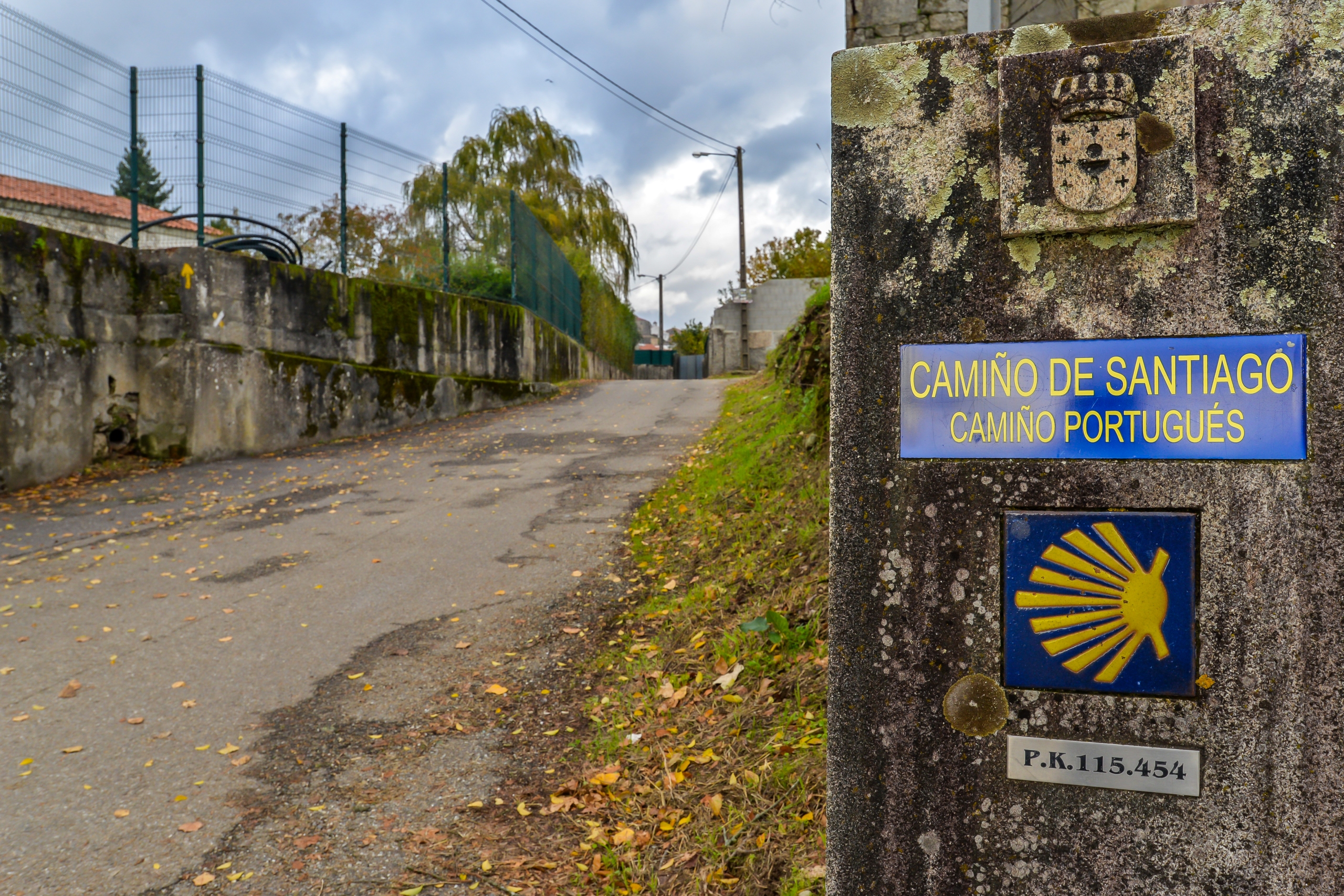
The crossing between Valença and Tui carries strong symbolic weight: the pilgrim leaves Portugal, crosses the Miño and enters Galicia. From Tui, the Camino continues toward O Porriño, Redondela, Pontevedra, Caldas de Reis and Padrón before reaching Santiago.
This is an option particularly suited to those seeking a balance between historical heritage, towns with services and rural landscapes. It is also the itinerary where other variants converge before arriving at Compostela. In a sense it functions as the backbone of the contemporary Camino Portugués.
The Coastal Portuguese Way
Those who prefer to keep the Atlantic close for longer can choose the Camino Portugués de la Costa.
From the Porto region, this itinerary advances northward along settlements near the coast, alternating urban spaces, rural areas, beaches, river mouths and maritime landscapes.
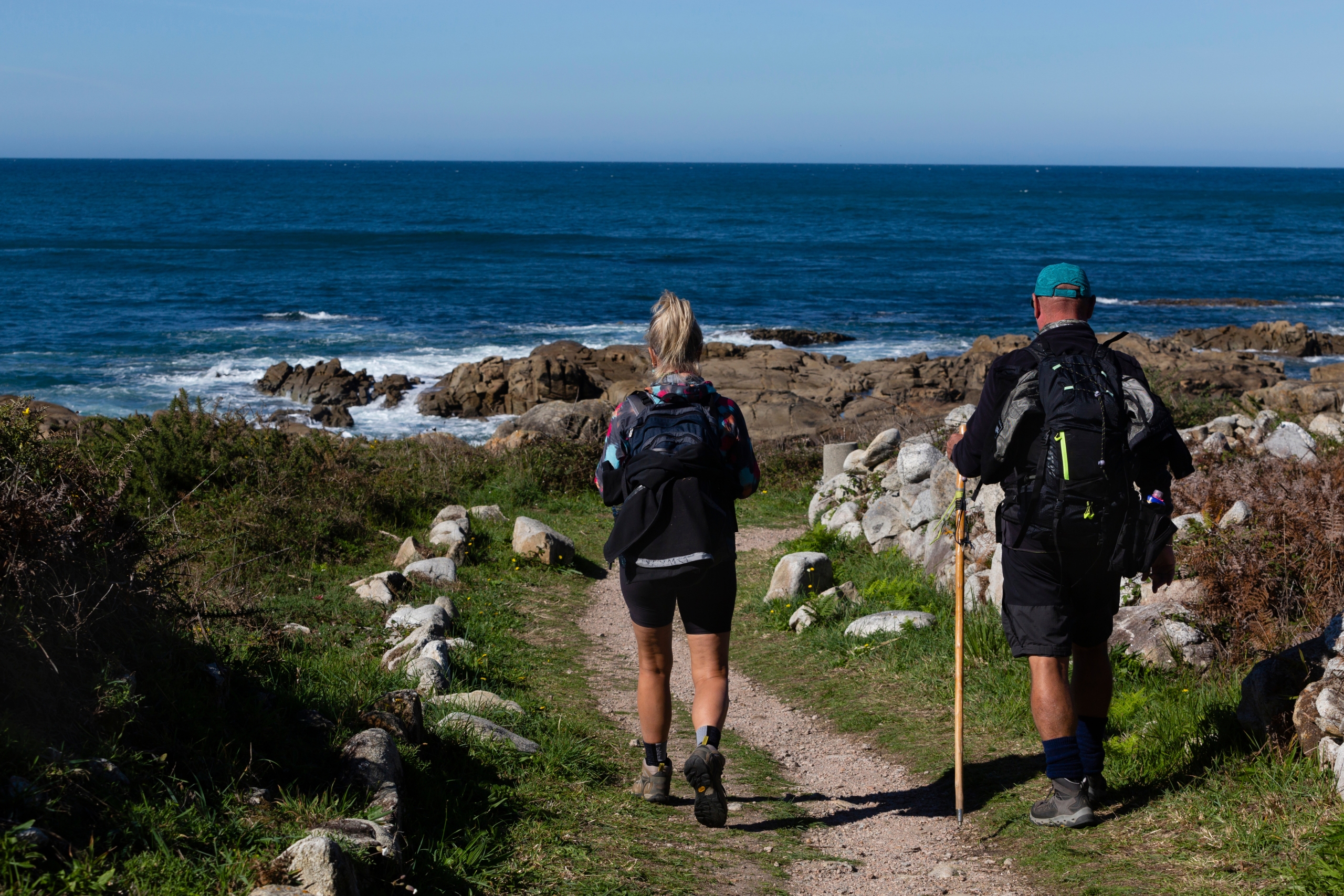
The experience is different from the Central. Here the ocean is a constant presence for much of the journey, and some stages allow you to walk very close to the water.
In northern Portugal, the route reaches towns such as Viana do Castelo and Caminha. From there, various connections allow the walker to continue into Galicia. The Galician coastal stretch passes through places such as A Guarda, Oia and Baiona before heading toward Vigo and eventually joining the main itinerary toward Redondela.
The Coastal Way is particularly appealing to those who value maritime landscapes and prefer an experience less tied to the traditional inland axis.
The Senda Litoral: Walking even closer to the sea
The naming can cause some confusion, because the Camino de la Costa and the Senda Litoral are not always exactly the same thing. On certain stretches, the Camino de la Costa runs somewhat further inland, while the Senda Litoral tries to stay as close as possible to the ocean, making use of seafront promenades, boardwalks and paths beside the beaches.
In practice, many pilgrims combine both options. There is no need to treat them as two completely separate roads: at certain points it is possible to leave the coastal route to draw closer to the sea and then return to it.
This flexibility is precisely one of the interesting features of the Camino Portugués. The traveller can adapt the route according to the landscape, the weather conditions, available accommodation or simply personal preference.
The Spiritual Variant
The last major choice appears in Galicia itself. On arriving in Pontevedra, those following the Camino Portugués can continue along the usual route toward Caldas de Reis or divert onto what is known as the Variante Espiritual.
This alternative leads toward the comarca of O Salnés and the Ría de Arousa. Its name comes from the territory’s connection with the tradition of the Traslatio — the account that places in these waters the passage of the Apostle James’s body on its journey to Galicia.
The variant incorporates one of the most singular elements of all the Caminos de Santiago: the possibility of completing part of the journey by boat along the Ría de Arousa and up the Ulla river toward Pontecesures, before rejoining the Camino that leads to Padrón and Santiago.
Those who prefer to cover the entire distance on foot can organise the route without necessarily making the boat crossing the centre of the experience. In any case, the Spiritual Variant adds different landscapes and allows an encounter with one of the oldest traditions associated with the Jacobean story.
Choosing the Camino according to time and experience
The diversity of itineraries allows the Camino Portugués to be adapted to very different journeys.
Setting out from Lisbon means planning a long-distance crossing. Beginning in Porto allows several days to get to know Portugal before crossing into Galicia. Tui, for its part, offers a more concentrated route focused on the final stretch.
It is also possible to combine routes. A pilgrim can leave Porto following the coast and join the Central Way further along; another can follow the Central to Pontevedra and then branch off along the Spiritual Variant.
There is no single correct formula. The Camino is walked primarily on foot, though it can also be covered by bicycle and through other modalities recognised within the Jacobean pilgrimage. Stages can be adapted to each person’s physical condition, available time and interests.
The network of hostels, accommodation, restaurants and services makes organisation considerably easier today. Even so, it is worth taking into account the time of year, the weather, the distances between settlements and the availability of accommodation, especially when choosing less frequented variants.
The pilgrim passport accompanies many walkers throughout the route and allows each stage to be recorded with stamps. For those making the Camino as a pilgrimage and wishing to receive the Compostela on arrival in Santiago, it is also important to know in advance the requirements established for their chosen mode of travel.
Many roads, one horizon
The Camino Portugués cannot be explained by a single line on a map. Its history is made of ancient roads, medieval paths, bridges, cities, ports and generations of people who crossed these territories for very different reasons. Contemporary waymarking has brought order to that complexity, but has not made it disappear.
Today the pilgrim can walk through the interior or seek out the Atlantic, follow the Central route or the Coast, draw even closer to the sea along the Senda Litoral or turn toward the Ría de Arousa along the Spiritual Variant. The journey can begin in Lisbon, Coimbra, Porto, Tui or many other towns. Each choice changes the journey, its landscapes and its duration.
Perhaps that is why speaking of the Camino Portugués in the singular is convenient but not entirely accurate. There was never a single road. There were — and there continue to be — many roads that, from different places, end by sharing the same horizon: Santiago de Compostela.
AI Transparency Notice
PilgriMaps uses artificial intelligence tools to assist in the research, drafting and translation of editorial content. All AI-assisted content is reviewed, edited and verified by our editorial team before publication. We contrast information against primary sources, specialist literature and on-the-ground knowledge to ensure accuracy, cultural sensitivity and editorial integrity.
AI is one tool among many in our workflow. The judgement, curation and responsibility for everything published on this platform remain entirely human.
Viator Media S.L. — in compliance with the EU Artificial Intelligence Act (Regulation EU 2024/1689).
This post is also available in: