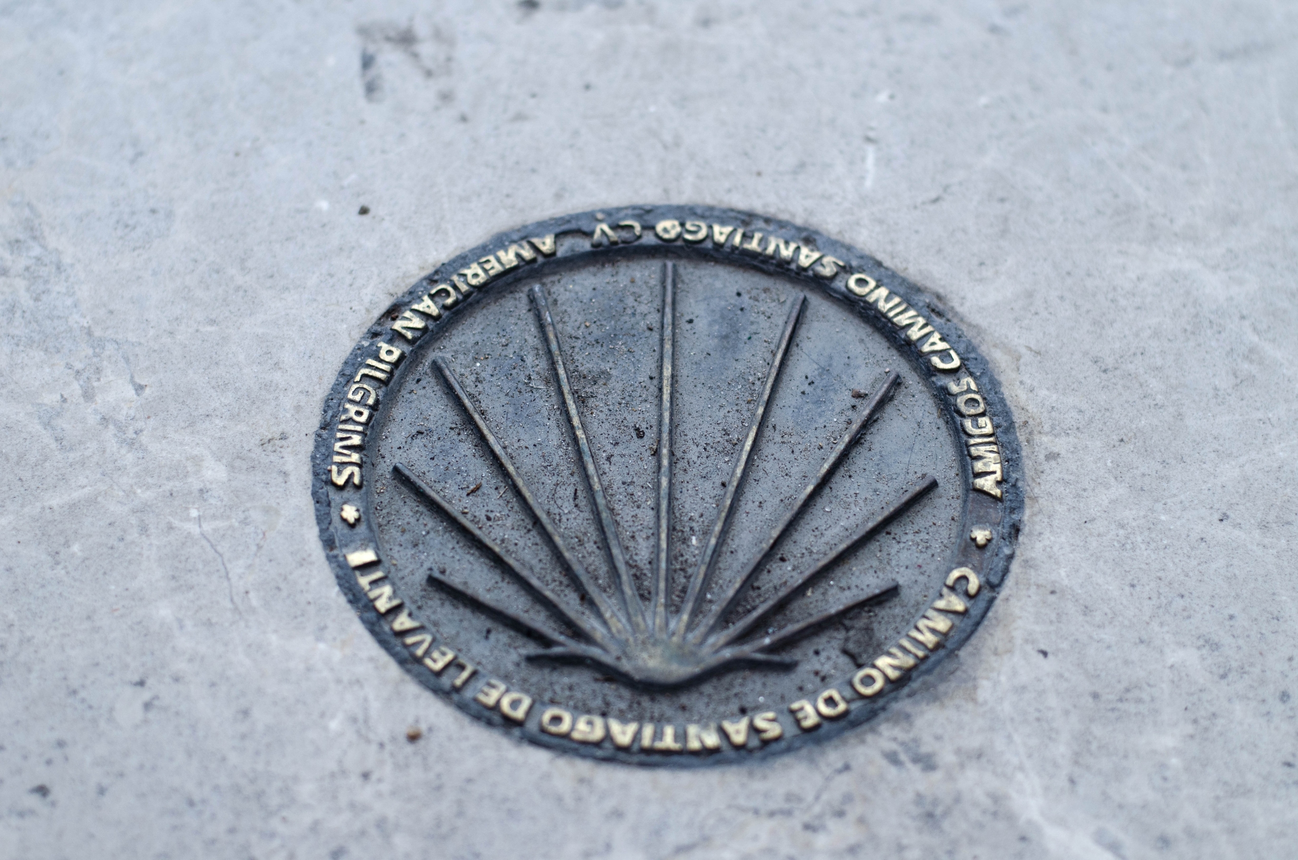
Not all Caminos de Santiago begin in the Pyrenees, and not all of them are full of pilgrims. Some are born beside the Mediterranean and head inland across the peninsula, crossing territories where the yellow arrows appear less frequently and silence accompanies the walker for kilometres at a time.
Such is the case of the Camino de Levante, one of the least known of the great Jacobean routes. From Valencia the itinerary heads west, crosses La Mancha, approaches the sierras of Ávila and continues across the Castilian plains to Zamora. There it links with the roads leading to Santiago de Compostela.
It amounts to roughly 1,200 kilometres of travel, a considerable distance that allows the walker to discover very different landscapes and some of the most interesting historic cities in Spain. But it is also an itinerary that invites you to look at the territory differently: as a web of roads along which travellers, merchants, clergy and pilgrims moved for centuries. Because the history of the Camino de Levante began long before anyone painted its first yellow arrows.
When the roads had no names
Tradition places the discovery of the tomb attributed to the Apostle James in the ninth century, an event that progressively turned Compostela into one of the great pilgrimage destinations of medieval Europe.
Travellers of that period, however, had no network of clearly defined Jacobean routes of the kind that exists today. To reach their destination they used the existing roads, shared with merchants, muleteers, messengers and travellers of every kind.
The peninsular Mediterranean played a prominent role within these communications. The ports received people and goods from different regions, while overland roads connected the coastal cities with Castile and the interior.
Valencia took an active part in that movement. Numerous hospital institutions in the city are documented from the fourteenth century onwards, reflecting a tradition of hospitality that could also benefit pilgrims.
One of the most suggestive cultural testimonies appears in the Espill, a work by the Valencian writer Jaume Roig composed in the mid-fifteenth century, which mentions the pilgrimage to “Sant Jaume de Ponent.” The reference demonstrates that the journey to Compostela formed part of the Valencian cultural horizon.
Another fundamental document is the Reportorio de todos los caminos de España, published in 1546 by Pedro Juan Villuga. That compilation reveals the network of communications linking peninsular cities and regions, along which those travelling for religious reasons could also move.
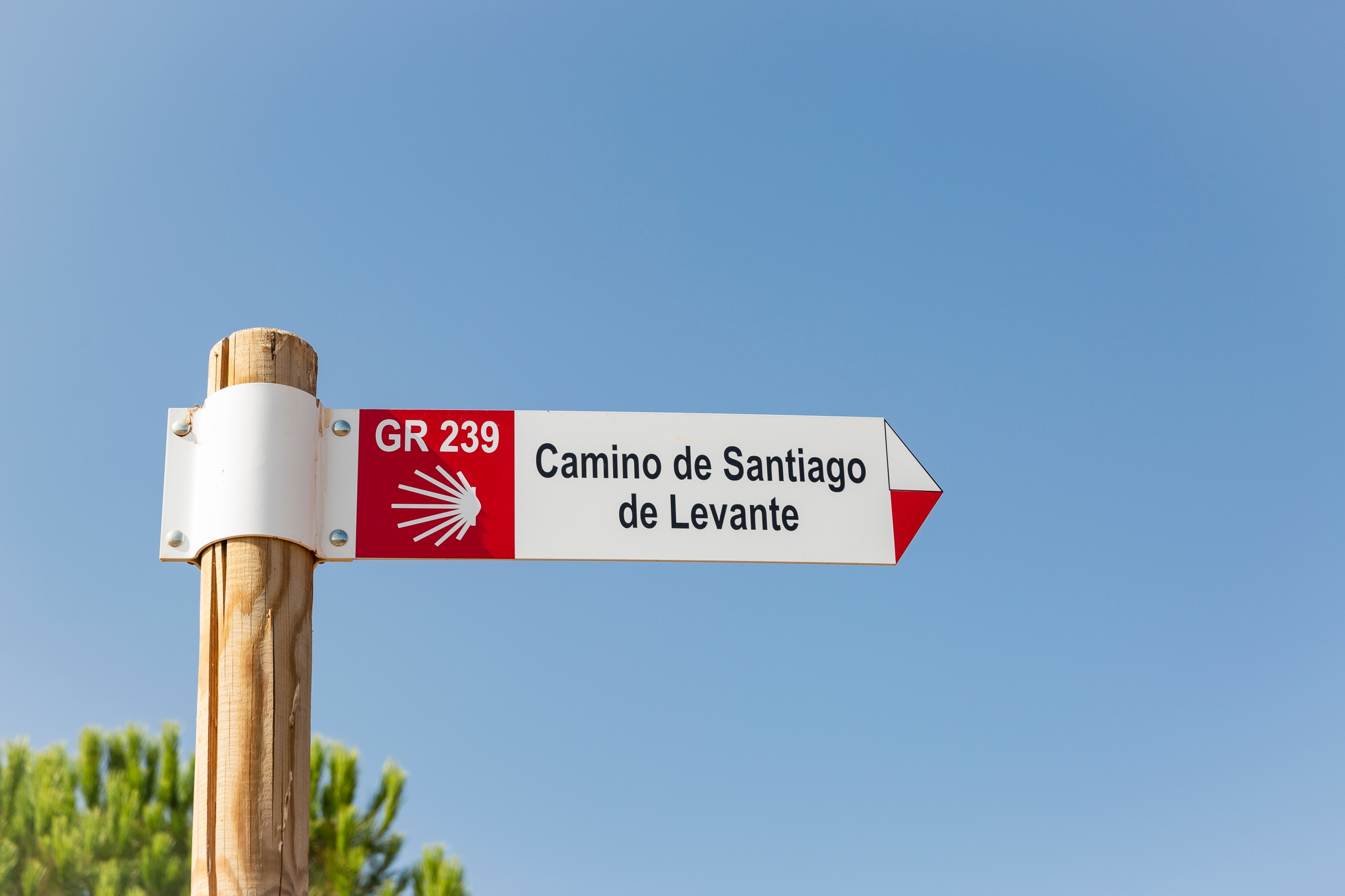
A distinction is nevertheless worth drawing: the existence of medieval pilgrims does not mean they followed exactly the itinerary waymarked today. The contemporary Camino de Levante is a reconstruction built on old communication corridors and historical testimonies. Its recovery began in 1993, driven by the Asociación de Amigos del Camino de Santiago de la Comunidad Valenciana. Its first topographical guide appeared in 1998.
Rather than a medieval path preserved intact, it is an ancient geography of travel recovered for today’s walkers.
From the Valencian market gardens to the frontier castles
The route begins in Valencia, a Mediterranean city where the Cathedral and the Lonja de la Seda recall the historical importance of its commercial and cultural relations. The first kilometres cross the landscape of the Valencian huerta and riverbanks, with their cultivated fields, irrigation channels and settlements that have maintained a close relationship with water and agriculture.
The road then approaches Xàtiva, dominated by its imposing castle, and continues toward Moixent and La Font de la Figuera. The landscape changes progressively: the lowlands give way to inland reliefs and natural corridors that for centuries facilitated communication between the Mediterranean and Castile.
Almansa marks another important landmark. Its castle, raised on a rocky promontory, is one of the great monumental symbols of the itinerary and evokes the strategic importance of these lands of passage.
Further on, vast agricultural expanses announce the proximity of Albacete. Before that, Chinchilla de Montearagón offers one of the most singular images of the route: a historic town raised above the plain, with a castle and an urban fabric that preserve the memory of other times.
La Mancha: walking through a literary landscape
From Albacete onwards, the Camino de Levante enters one of its most characteristic territories: La Mancha. Here the major gradients disappear, but a different difficulty emerges. Farm tracks can continue for kilometres between fields of cereal, vineyards and open horizons, with very little shade and villages relatively far apart.
The landscape, apparently simple, possesses a powerful cultural dimension. Places such as San Clemente, Las Pedroñeras and El Toboso evoke rural Castile, its traditional forms of settlement and its long relationship with agriculture.
El Toboso inevitably draws the walker into the universe of Cervantes. The literary homeland of Dulcinea binds these lands to one of the most universal works of Spanish literature. Although Don Quixote belongs to fiction, the Manchegan roads, inns, villages and landscapes that fed that imagination formed part of a real geography of travel.
The Camino de Levante allows you to discover that Mancha far from the main roads, at the unhurried pace of someone covering its immense distances on foot. The next great destination is Toledo, whose silhouette above the Tagus constitutes one of the most memorable moments of the itinerary. The city gathers testimonies of different cultures and religious traditions that coexisted and succeeded one another throughout its history. Its churches, synagogues, historic mosques and medieval streets turn the arrival into a genuine journey through the centuries.
From Toledo to the monumental cities of Castile
After Toledo, the road crosses Torrijos and Escalona and reaches San Martín de Valdeiglesias, where it enters briefly into the Community of Madrid without passing through the capital. The Manchegan flatness then begins to change. Between Cebreros and San Bartolomé de Pinares appear slopes and mountain terrain that anticipate the arrival at Ávila.
The walled city offers one of the great monumental ensembles of the route. Its walls, churches and historic buildings recall the importance of the Castilian cities during the Middle Ages.
From Ávila, the Camino de Levante returns to the great plains, now across the lands of Arévalo, Medina del Campo and Toro. This is a territory where Mudéjar architecture, castles, old fairs and agricultural landscapes allow us to understand other chapters of peninsular history. Medina del Campo preserves the memory of its commercial past, while Toro combines monumental heritage with a long winemaking tradition.
Finally comes Zamora, known for the richness of its Romanesque architecture. By this point the pilgrim will have crossed much of the peninsular interior, but Santiago still lies several hundred kilometres away.
A network of roads that meet
The Camino de Levante is not an isolated route. It forms part of a broad network of Jacobean itineraries connecting the Mediterranean with the northwest of the peninsula. The route proper begins in Valencia, but from Alicante departs the Camino del Sureste, which shares various stretches with it. From Murcia it is also possible to join that network, while the Ruta de la Lana offers another itinerary, passing through Cuenca and Sigüenza before reaching Burgos and the Camino Francés.
These are not exactly variants of a single route, but recovered historical roads that cross and converge at different points. At the western end, Zamora and Granja de Moreruela constitute an important crossroads. From there, the Camino Sanabrés leads toward Galicia through Tábara, Puebla de Sanabria, A Gudiña and Ourense, before reaching Compostela.
It also brings a further transformation of the landscape: the great Castilian plains give way to the mountains, forests and wetter lands of the northwest.
How to walk the Camino de Levante today
According to the Spanish Federation of Associations of Friends of the Camino de Santiago, the Camino de Levante covers 843.84 kilometres from Valencia to Granja de Moreruela. To these must be added approximately 368 kilometres of the Camino Sanabrés to Santiago.
Completing the route means around 48 to 50 days of walking for someone accustomed to covering some 25 kilometres a day, not counting rest days. The principal difficulty, however, lies not in elevation — except in certain mountain sections — but in the long distances between settlements, the scarcity of services and the exposure to the sun.
Some stages exceed 35 or even 40 kilometres. It is therefore essential to check available accommodation in advance and adapt the daily stages to each walker’s capacities. The most advisable seasons are April and May, together with late September and early October. During the summer, the heat of La Mancha and the Castilian plateaux can turn an apparently straightforward day into a considerable effort.
Unlike the Camino Francés, the Levante does not have so continuous an infrastructure of hostels and services. In some places there are municipal or association-run lodgings; in others it is necessary to rely on guesthouses and small hotels. It is advisable to confirm availability before arriving.
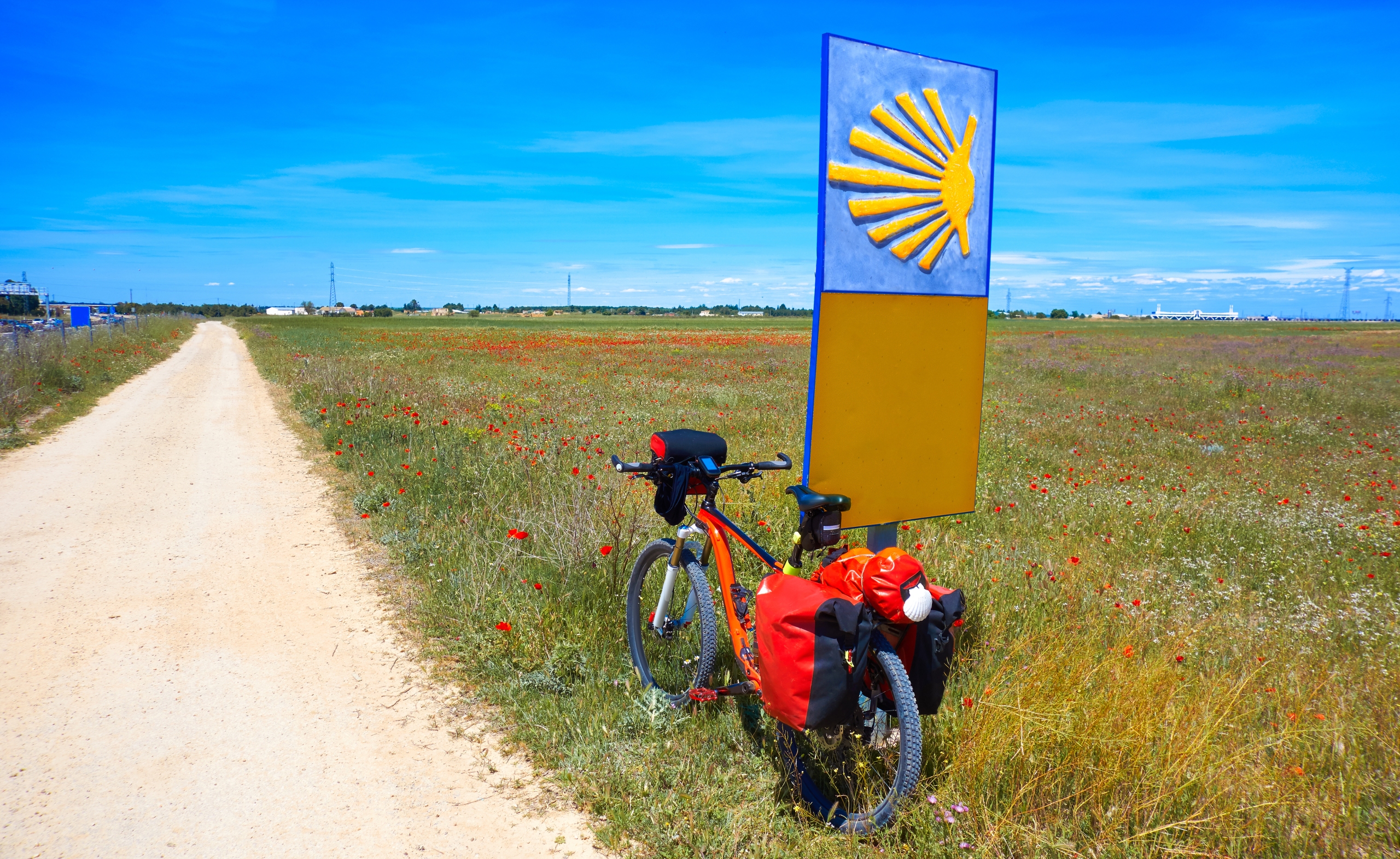
Waymarking by yellow arrows should be supplemented with maps and GPS tracks downloaded beforehand. The Federation of Associations of Friends of the Camino, the Instituto Geográfico Nacional and local associations all offer cartographic information useful for planning the route.
It is also advisable to carry the pilgrim’s credential, the document that allows the journey to be recorded with stamps and the pilgrimage to be certified. For those without sufficient time, the road can be divided into sections and walked across different trips. Cities such as Valencia, Xàtiva, Albacete, Toledo, Ávila, Medina del Campo and Zamora make it easy to organise these partial experiences.
The appeal of silent roads
The Camino de Levante does not necessarily offer the collective experience of other more frequented itineraries. There are days on which the walker may go for hours without meeting another pilgrim.
That solitude requires preparation, but it also constitutes one of the route’s greatest distinctions. It allows you to observe the territory with a different kind of attention: to make out the course of an old communication route, to pause before a castle, to cross a medieval square, or to recognise in the landscape the traces of generations of travellers.
Along the way appear, one after another, Mediterranean culture, the old frontier lands, the literary Mancha, the monumental Castilian cities and the landscapes of the northwest. It is a way of coming to know Spain at the speed of a human step, far from the busier routes and the great tourist circuits.
Perhaps that is where the real appeal of the Camino de Levante lies. Its history does not need to imagine a medieval path that has remained intact for a thousand years. It is far more interesting to discover how the roads of merchants, muleteers, travellers and pilgrims gradually formed a network that contemporary associations have brought back into use.
Because before they became waymarked routes, roads were above all a way of connecting territories and people. And the Camino de Levante is a reminder that it is still possible to walk that history westward.
AI Transparency Notice
PilgriMaps uses artificial intelligence tools to assist in the research, drafting and translation of editorial content. All AI-assisted content is reviewed, edited and verified by our editorial team before publication. We contrast information against primary sources, specialist literature and on-the-ground knowledge to ensure accuracy, cultural sensitivity and editorial integrity.
AI is one tool among many in our workflow. The judgement, curation and responsibility for everything published on this platform remain entirely human.
Viator Media S.L. — in compliance with the EU Artificial Intelligence Act (Regulation EU 2024/1689).